Trimble X9 3D Laser Scanning System
TrimblePlease Call for a Quote and to Setup a Free Demo at (724) 266-1600 or PLI@Laserinst.com
Trimble X9 3D Laser Scanning System:
Datasheet | Applications | Comparison
User Guide | Quick Start Guide | Regulatory Information
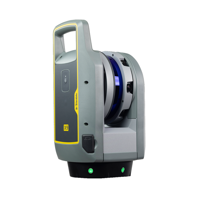
The new Trimble® X9 is an advanced 3D Laser Scanning System you can depend on, built on proven Trimble technologies.
Do more, better and faster with the range, accuracy and short scan times you need to boost productivity. That's the power of the Trimble X9 - Capture reality in minutes for a job done right the first time!
Proven
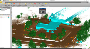
Perform simple and efficient field workflows suitable for all users. Powerful Trimble Perspective software pairs with the X9 to easily manage and validate projects in the field with auto-registration. Smart auto-calibration and self-leveling optimizes productivity and function. There's also a laser pointer for georeferencing and single-point measurements.
Versatile
Benefit from high-speed scanning to save time and money whilst effectively increasing scan density over previous options. This high-sensitivity solution is the ultimate scanner with scan modes that can capture both dark and shiny surfaces fast. There's flexible operation via a tablet, phone or single button, and the durable, compact and lightweight design with a backpack allows for safe and easy transport.
Reliable
Trusted auto-calibration and survey-grade self-leveling give you dependable data quality. Use the X9 in a wide range of temperatures and demanding environments, with the peace of mind of an IP55 rating and 2-year standard warranty.
Key Features
- Self-calibration for dependable data on every scan
- Survey-grade self-leveling for fast, easy setups
- IP55 environmental protection
- Fast scan times of less than 1 minute
- 150m Operating range to put more projects within reach
- High accuracy and low range noise point clouds for detailed digital twins
- Scanning speeds of up to 1million points per second
- Better range, angular accuracy and data quality to support a wider range of applications
- Enhanced sensitivity difficult surfaces
- Flexile operation with a phone, tablet or one-button workflow
- In-field registration
- In-field 3D data visualization
- Georeferencing
- Area scan for higher density on critical areas
Applications
- Topographic & General Surveys
- Civil Infrastructure
- Industrial Surveys
- Forensics
- Cultural Heritage
- Digital Twins
- Tank Calibration & Inspection
- Shipbuilding Surveys


