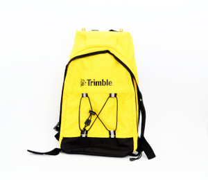


SPAR 300 - Surveying and Mapping of Underground Utilities: Datasheet
- The Spar 300 represents a comprehensive approach to surveying and mapping underground utilities
- It is fully integrated with the Trimble Access surveying environment
- Operates seamlessly with Trimble GNSS receivers
- May be used with Trimble Total Stations
- The Spar employs a set of magnetic field sensors to accurately measure the 3-D vector to an underground utility
- Automatically combines this vector with absolute positions obtained via GNSS or other survey methods to obtain the 3-D coordinates of the utility
- The Spar’s novel approach allows it to measure the 3-D vector from any vantage point within range
- Its built-in acceleration and magnetic sensors allow it to operate in almost any position
- It offers two distinct operating modes, line and sonde, extending its capabilities to most surveying situations
- The Spar 300 is usually mounted on a survey pole and is the right tool for utilities within a radial range of approximately 10 ft. (3 m)
In a typical cable or pipe survey the Spar is mounted vertically on a survey pole directly below the GNSS receiver
- The surveyor monitors the display continuously, using the on-screen indicators to maintain casual contact with the utility center line
- Measurements may be collected automatically at fixed intervals or with single-shot measurements at selected locations
- The pole may be equipped with a survey wheel for convenience


