11th Mar 2019
Trimble Forensics Introduce Forensics GNSS Solution

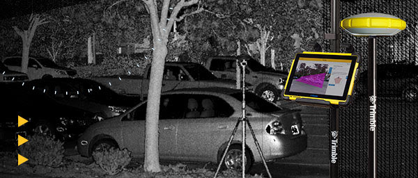
The Forensics GNSS solution enhances forensics fieldwork by improving efficiency and broadening the range of data collection technologies available using the same, proven software. Trimble Forensics Capture software supports GNSS-based workflows and works with the Trimble R4sLE receiver, or any Trimble R-series receivers. Options for data collection now include GNSS, 3D scanners, total stations and UAVs.
Key features include:
- Forensics Capture field software, designed with the help of law enforcement, uses industry terminology and Wizard-based workflows, making it easy to learn and easy to use
- Built-in ground scaling and local coordinate system for every scene so there is no need for site calibrations
- Integrated surveying workflows for GNSS, Trimble SX10 or total stations
- Storage for all collected data within the same Capture file, including GNSS, total stations or the SX10
- The IP-67 rated Trimble R4sLE is waterproof, impact resistant and rated for -40 C to 65 C so extreme temperatures are not a problem
For more information go to: forensics.trimble.com/gnss-
