Posted by Precision Laser & Instrument, Inc. on 13th May 2021
News
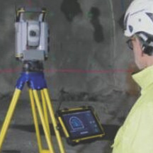
Webinar: "Upgrade Your #Tunnel Surveys with #Trimble & #Amberg!"Thursday, May 20th, 2021 | 10am EDTLearn More & Register: https://bit.ly/3tEr2ip#PLI #Geospatial #GeospatialLife #Geospatia
…
Posted by Precision Laser & Instrument, Inc. on 27th Apr 2021
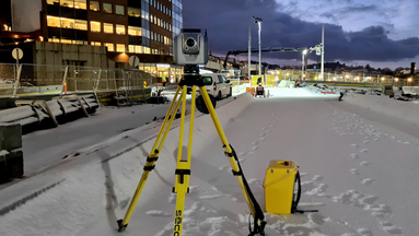
"Trimble Expands Surveying, 3D Modeling Capabilities with the Trimble SX12 3D Scanning Total Station!"
"#Trimble Expands #Surveying, #3DModeling Capabilities with the #TrimbleSX12 #3DScanning #TotalStation!"Read On: https://bit.ly/3nq47pmLearn More & Schedule a Local Demo!https://bit.ly/2NlBj3R724
…
Posted by Precision Laser & Instrument, Inc. on 26th Apr 2021
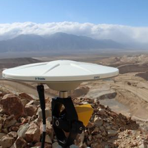
"Trimble RTX Correction Services Explained!"
"#Satellite & #cellular coverage make #Trimble's CenterPoint #RTX corrections available worldwide! Whether you're in a remote location or working over large geographic areas, you can survey anywhe
…
Posted by Precision Laser & Instrument, Inc. on 22nd Apr 2021
Trimble SX12 Simple Survey Dataset!
"This #Trimble Business Center project highlights the capabilities of the #TrimbleSX12 #3DScanning #TotalStation. It was captured in just over an hour, with two instrument stations setup via rese
…
Posted by Precision Laser & Instrument, Inc. on 19th Apr 2021
"Automating Data Collection for Manual Monitoring"
"Automated #datacollection can vastly improve efficiency for survey #monitoring critical #infrastructure."Checkout the benefits & workflows of in this #Trimble blog!https://bit.ly/3xaLv1hSchedule
…
Posted by Precision Laser & Instrument, Inc. on 15th Apr 2021
Trimble Blog Series Part 4: "Coordinate Systems in GIS Workflows!"
Checkout Part 4 of #Trimble's blog series on "Coordinate Systems in Trimble GIS Workflows!"Read how geodetics come into play with different #GNSS correction sources: https://bit.ly/3dmtbdK#PLI #
…


