Posted by Precision Laser & Instrument, Inc. on 9th Apr 2021
News
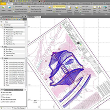
"#TBC Does That: Convert Coordinates from Grid to Ground!"Learn More: https://bit.ly/2QcTHgw#PLI #Geospatial #GeospatialData #GeospatialLife #Surveying #Surveyor #Surveyors #SurveyLife #LandSurve
…
Posted by Precision Laser & Instrument, Inc. on 23rd Mar 2021
Trimble Business Center v.5.40.1 is Now Available!
#Trimble Business Center v.5.40.1 is Now Available!Learn More: http://bit.ly/3shDVieSchedule a Local Demo!https://www.laserinst.com/contact724-266-1600 | PLI@laserinst.com#PLI #Geospatial #T
…
Posted by Precision Laser & Instrument, Inc. on 8th Feb 2021
Have You Seen the Trimble Business Center Tips Blog? Check It Out!
Have you seen the #Trimble #TBC Tips Blog? "See all the latest tips to this powerful software, including new tips such as importing newer VCE files into older TBC versions, sample datasets & the n
…
Posted by Precision Laser & Instrument, Inc. on 20th Jan 2021
"Building Deformation Monitoring using Integrated Survey"
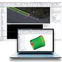
"For this sample #dataset, the same points were collected at 3 different epochs to #monitor #building #deformation. Learn how to process, manage & share #deformationmonitoring data with the new #T
…
Posted by Precision Laser & Instrument, Inc. on 16th Dec 2020
See What's New in Trimble Business Center v5.40!
Have you heard? #TBC v5.40 is now available! Read about the latest features & enhancements to this powerful #surveying software!Learn More: http://bit.ly/37rBORfSchedule a Local Demo:https://www.l
…
Posted by Precision Laser & Instrument, Inc. on 3rd Dec 2020
Checkout This Virtual Surveying Dataset Using 3D Scans!
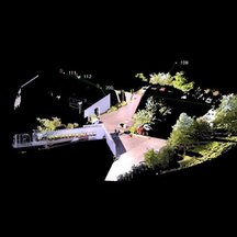
"Checkout this virtual survey of an intersection and see how #Trimble Business Center (#TBC) processes and analyzes #3DScanning Data by downloading the following #dataset."#VirtualSurveying Dataset:&n
…


