Posted by Precision Laser & Instrument, Inc. on 22nd May 2020
News
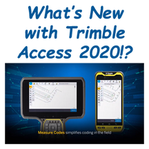
What's New with #TrimbleAccess2020!?Find Out! https://lnkd.in/eS8b6RULearn More & Schedule a Local Demo!https://www.laserinst.com/survey/724-266-1600 | PLI@laserinst.com#PLI #Geospatial
…
Posted by Precision Laser & Instrument, Inc. on 22nd May 2020
Tips & Tricks for Surveying with Ticks
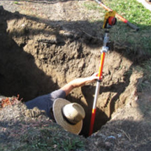
Helpful Information for the Summer Surveyor!Tips and Tricks for Surveying with Ticks:https://lnkd.in/e3QYSiT#PLI #Geospatial #Trimble #TrimbleGeospatial #Surveying #Surveyor #Surveyors #SurveyLife #La
…
Posted by Precision Laser & Instrument, Inc. on 20th May 2020
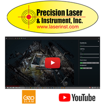
How to Georeference and Colorize GeoSLAM Scan Data!
"...We had a customer use this product on a rather complex project and they needed not only to collect the scan data, but it had to be georeferenced."Checkout the latest episode of our Geospatial How-
…
Posted by Precision Laser & Instrument, Inc. on 8th May 2020
See the Latest in Our Geospatial Technology Series, Featuring Trimble Access 2020!
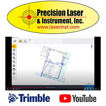
See the latest in our Geospatial Technology Series, featuring Trimble Access 2020!Watch!https://youtu.be/1CYx_Bqs8z4Learn More About Our Geospatial Tech & Schedule a Demo!724-266-1600 | PLI@l
…
Posted by Precision Laser & Instrument, Inc. on 23rd Apr 2020
PLI and Trimble Can Help You with Site Monitoring!
PLI and Trimble can help you with site monitoring! "Whether you're a survey firm looking to provide monitoring services to your clients, or a construction surveyor looking to set up a system on y
…
Posted by Precision Laser & Instrument, Inc. on 20th Apr 2020
"What is the Function of the Land Boundary Surveyor?"
"What is the Function of the Land Boundary Surveyor?""Mathematician or Discoverer of Evidence?"Read On! https://lnkd.in/ePEmmiJLearn More About Our Surveying Solutions!https://www.laserinst.com/s
…


