Posted by Precision Laser & Instrument, Inc. on 12th Apr 2022
News
"Keeping Everyone in the Loop: How a Light #Rail Project Uses Up-to-Date #3DModels in the Field to Improve Collaboration!" Read: https://bit.ly/3rjtZq6 #PLI #Trimble #Geospatial #GeospatialData #
…
Posted by Precision Laser & Instrument, Inc. on 28th Oct 2021
"Asset Locations: Removing the Guesswork with GIS!"
"The City of Hernando, Mississippi uses #GIS to expedite maintenance & repairs of vital #municipal #publicworks #infrastructure using cloud-based software & handheld devices for simple & e
…
Posted by Precision Laser & Instrument, Inc. on 12th Aug 2021
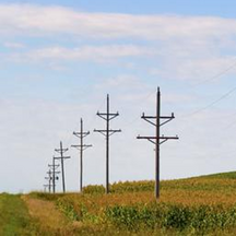
"The Straight Talk on Staking Electrical Lines"
"The American Great Plains are known for wide open spaces, views that stretch for miles & lines of electrical poles that seem to run straight into the horizon.Before these poles go up, the lines m
…
Posted by Precision Laser & Instrument, Inc. on 15th Mar 2021
"Surveying: The Bellwether for a New Era of Infrastructure"
"Surveying: The Bellwether for a New Era of Infrastructure"Read: https://bit.ly/38vvubA#PLI #Geospatial #GeospatialLife #GeospatialData #Surveyor #Surveyors #SurveyLife #LandSurvey #LandSurveying
…
Posted by Precision Laser & Instrument, Inc. on 23rd Feb 2021
Trimble Monitoring - Automated Movement Detection with Confidence!
--"As seen with the Steenbras #Dam in South Africa, early detection of potential failure drastically impacts #safety & economic activity downstream. This video demonstrates the importance of well-
…
Posted by Precision Laser & Instrument, Inc. on 11th Dec 2019
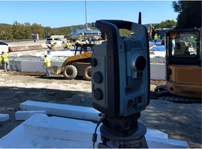
Brayman Construction Utilized Trimble Technology to Finish Ahead of Schedule!
Our partner, Brayman Construction, utilized Trimble Positioning Technology, including an R8s GNSS Receiver and S-Series Robotic Total Station, to complete their part on an important infrastructure pro
…


