Posted by Precision Laser & Instrument, Inc. on 3rd Feb 2021
News
#Geospatial Professionals! Great News!"The #Ohio Department of Transportation, Office of #CADD & #Mapping Services is pleased to announce that the #ODOT #RTN (Real-Time Network), formally known as
…
Posted by Precision Laser & Instrument, Inc. on 2nd Feb 2021
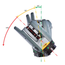
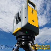
"How is the Trimble X7's Self-Leveling Different from Other Scanners?"
"Checkout this recent whitepaper to learn more about the #TrimbleX7's unique design & technical innovations, such as its powerful self-leveling feature!"Learn More: http://bit.ly/2MiQNVTSched
…
Posted by Precision Laser & Instrument, Inc. on 1st Feb 2021
Upcoming Webinar: "Untethered Surveying with Trimble CenterPoint RTX!"
"Trimble is excited to announce a game-changing workflow for #surveyors, offering real-time datum transformation into your local coordinate system without a base or #VRS network - and without dealing
…
Posted by Precision Laser & Instrument, Inc. on 28th Jan 2021
INTERGEO 2020 Trimble Sessions On Demand!
"The international #geospatial community came together virtually in 2020 to share, learn and collaborate with other professionals dedicated to #surveying & #geoinformation. A lot of great insights
…
Posted by Precision Laser & Instrument, Inc. on 27th Jan 2021
Trimble Geospatial 2020 News Round-Up!
Looking to keep up-to-date on #Geospatial #Technology? Checkout this "News Roundup" on #TrimbleGeospatial in 2020, courtesy of #TheAmericanSurveyor!Review Here: http://bit.ly/36iasMtSchedule a Lo
…
Posted by Precision Laser & Instrument, Inc. on 26th Jan 2021
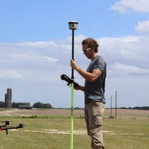
"Modern Field Research Trials Use GNSS Positioning for Accurate Assessment of Plant Health & Performance!"
"Modern Field Research Trials Use #GNSS Positioning for Accurate Assessment of Plant Health & Performance!"Read: http://bit.ly/36f0gnQ#PLI #Geospatial #Trimble #TrimbleGeospatial #GeospatialL
…

