Posted by Precision Laser & Instrument, Inc. on 13th Sep 2021
News
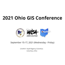
Catch us this week at the 2021 #Ohio #GIS Conference!Learn More: https://bit.ly/2XdsP3P#PLI #Geospatial #GeospatialData #GeospatialLife #GPS #Mapping #Cartography #Cartographer #Cartographers #UR
…
Posted by Precision Laser & Instrument, Inc. on 13th Sep 2021
"Geospatial Adventure, Eh?"
"#Geospatial Adventure, Eh?" Geospatial History: Part 1Read On: https://bit.ly/3EcMCRw#PLI #GeospatialData #GeospatialLife #Surveying #Surveyor #Surveyors #SurveyLife #LandSurvey #LandSurveying #
…
Posted by Precision Laser & Instrument, Inc. on 9th Sep 2021
"Augmented Reality is a Reality!"
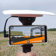
"#AugmentedReality is a Reality"Read: https://bit.ly/2VrIjQC#PLI #Geospatial #GeospatialData #Surveying #Surveyor #Surveyors #SurveyLife #LandSurvey #LandSurveying #ConstructionSurvey #Construcit
…
Posted by Precision Laser & Instrument, Inc. on 8th Sep 2021
"NSPS & URISA to Co-Host Virtual Survey & GIS Summit!"
"#NSPS & #URISA to Co-Host Virtual #Survey & #GIS Summit!"November 3rd-4th, 2021Learn More: https://bit.ly/3na0xSh#PLI #Geospatial #GeospatialLife #GeospatialData #Surveying #Surveyor #Su
…
Posted by Precision Laser & Instrument, Inc. on 26th Jul 2021
"Trimble Tech & Satellite Imagery Helps Forestry Management!"
"#ForestManagement in Quebec is serious business! Learn how Canadian researchers are supporting this $10-billion #CAD industry by pairing #Trimble technology with satellite imagery to tailor custom pa
…
Posted by Precision Laser & Instrument, Inc. on 16th Jul 2021
"Encouraging Trail Use with Maps!"
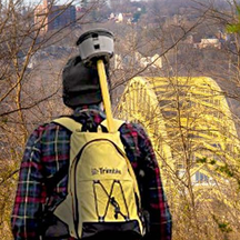
"Avid hiker & city employee, Matthew Jacob, collected accurate #GIS data for more than 130 miles of park, greenway & river trails in #Pittsburgh, #PA using #Trimble & #Esri technology to c
…


