Posted by Precision Laser & Instrument, Inc. on 22nd Jun 2021
"Increasing Accuracy on Power Line Surveys!"

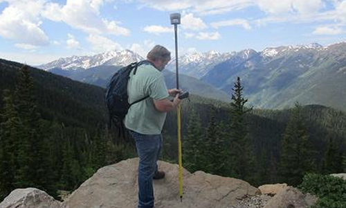
"An 8,000-square-mile remote, precise #GNSS survey without a base or network? Read about the success of a 3-week #powerline #mapping project using #Trimble CenterPoint #RTX!"
Read: https://bit.ly/2Ske4tv
#PLI #Geospatial #GeospatialLife #GeospatialData #Surveying #Surveyor #Surveyors #SurveyLife #LandSurvey #LandSurveyor #LandSurveyors #LandSurveying #GNSSReceiver #RTN #VRS #GPS #GIS #Powerlines #Utilities #Infrastructure #Geomatics #NSPS #PSLS #PLSO #WVSPS

