Posted by Precision Laser & Instrument, Inc. on 16th Sep 2020
Geospatial Precision Brought to the Railroad!
PLI & Trimble Help Shortline Railroad Transportation Company Manage Its Routes
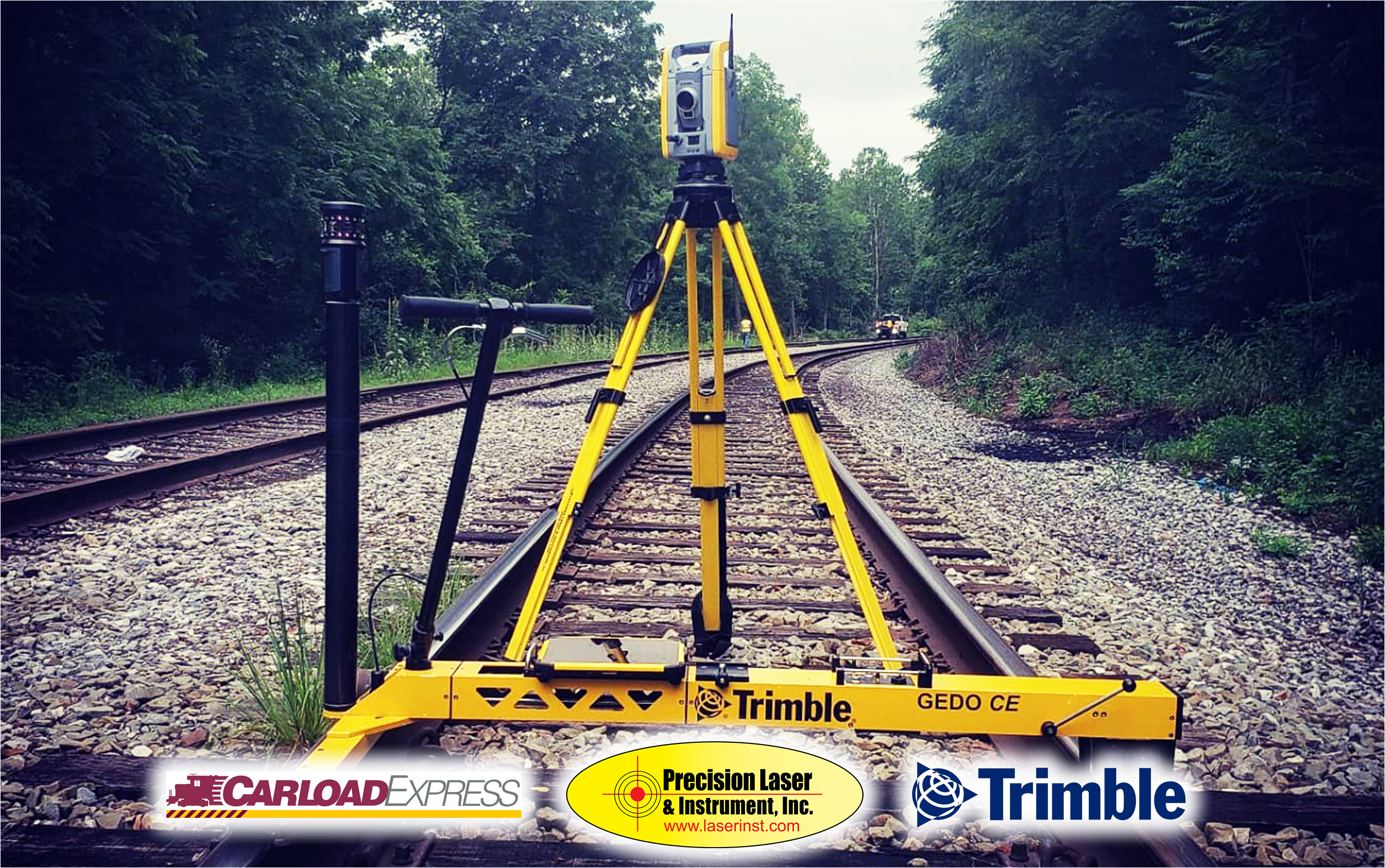
Precision Laser & Instrument, Inc. was proud to be able to provide comprehensive geospatial positioning equipment for Carload Express, Inc. Carload Express, a shortline railroad and transportation company, has been serving the Ohio River Valley for over 25 years. With roughly 90,000 carloads shipped annually, the company provides powerful economies of scale for those in need of efficient freight transportation. They have approximately 344 total route miles in use, making railway design, layout, monitoring and maintenance critical to successful operations. Through a dynamic portfolio of Trimble Geospatial Technology, they were able to make these tasks simple and accurate.
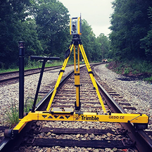
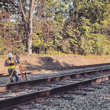
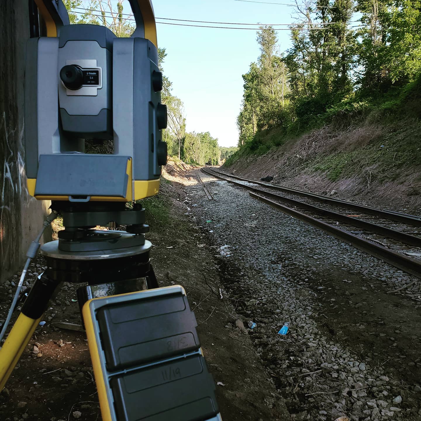
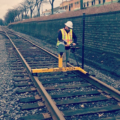
“Before we moved to Trimble solutions, our geospatial data collection workflow involved multiple pieces of equipment, a combination of handwritten and electronic sources, and was just generally slow and cumbersome,” said Adam Zweig, Manager of Right-of-Way at Carload Express. “We now employ a full range of Trimble geospatial technology including a TX8 3D Laser Scanner, S6 Robotic Total Station, S7 Robotic Total Station, R10 GNSS Receiver, Yuma 2 and T10 Rugged Tablets, and GEDO CE 2.0 Track Scanning Trolley System.”
|
|
|
|
Adam and the team at Carload Express, Inc. have found the Trimble technology invaluable for their efforts in clash detection, real-time stakeout, track maintenance and replacement, new track design and more. “Our workflow is now fast, efficient, streamlined and highly-accurate, with one source for data collection and processing all in the same hardware and software family,” said Adam.
Jobsite Photos (CLICK HERE!)
Precision Laser & Instrument, Inc. | www.laserinst.com
Carload Express, Inc. | www.carloadexpress.com

