LP360 Drone Software
GeoCue MicrodronesPlease Call for a Quote and to Setup a Free Demo at (724) 266-1600 or PLI@Laserinst.com
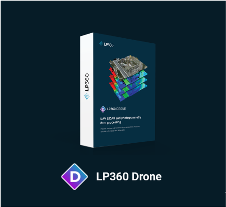
GeoCue Microdrones LP360 Drone Software
LEARN MORE
This is the core product for drone geospatial data workflow. Maximize your LiDAR and imagery data with visualization, QA/QC, classification, 3D editing, and analysis capabilities. It includes the features below.
- Intuitive workflow
- Multi-flight import and processing
- GIS interface allowing combination with other geospatial data
- Powerful point cloud visualization with multiple and synchronized windows
KEY FEATURES:
- Intuitive Sensor Processing Workflow
- Import data and perform quality check
- Process PPK, GNSS/INS trajectory data seamlessly for DJI users (except for L1: done in Terra)
- For DJI L1 & L2 users: fix LAS format, allow splitting of LAS in strips, cleaning and prepare for strip align
- Manage coordinate systems – datum and projection
- Split LiDAR data in strips
- Enhance strip matching with Strip Align and Adjustment (additional module required)
- Integrated photogrammetry workflow (additional module required)
- LiDAR and Imagery 3D Explorer Tool
- Synchronized three windows viewer (2D, 3D, profile) for advanced visualization
- LiDAR quality control and repair tools
- Extensive filtering capabilities by any combination of class, elevation range, intensity etc.
- Advanced 3D feature edit tools
- Image Explorer allows the selection of images containing any point selected on the point cloud for contal inspection
- Desktop patrolling capabilities for systematic review of features in a 3D environment
- Powerful Product Creation Tools
- Smoothing tools
- Ground classification tools (automated)
- Breakline digitalization tool and enforcement
- Digital elevation model/digital terrain model tool
- Volume calculation, automatic base (toe extraction)
- Classify by GIS data layers and features (including 3D points, lines, and polygons)
- Convert 2D vectors to 3D by automated surface elevation and extraction
- License Features
- Desktop application with floating license (one device)
- Project size limited to 10km2
APPLICATIONS:
- Aerial Mapping / Surveying
- Construction
- Mining
- Volumetrics
- Precision Agriculture
- Digital Twins
- Defense


